Geospatial data analysis
The activity of the Marine Geospatial Information Analysis, Processing, Exploitation and Production Department.
Activity of the department
The Marine Geospatial Information Analysis, Processing, Exploitation and Production Department
- Processes and manages databases of underwater environmental data specific to maritime operations within the area of responsibility of the Romanian Naval Forces;
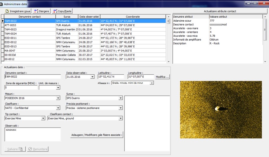
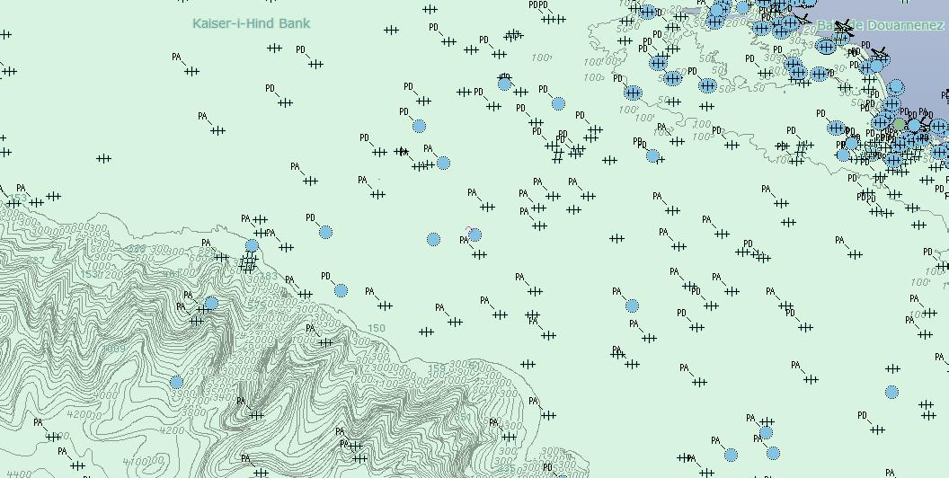
- Processes and manages databases of underwater contacts of interest specific to maritime operations within the area of responsibility of the Romanian Naval Forces;
- Manages and updates the database of characteristics of naval equipment and platforms specialised in mine warfare;
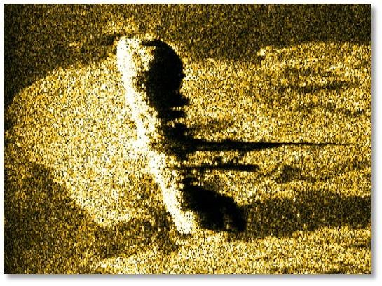
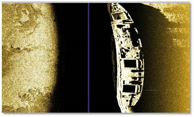
- Analyses environmental data and contacts of interest, and creates mission-specific MCM data sets in support of forces specialised in mine countermeasures;
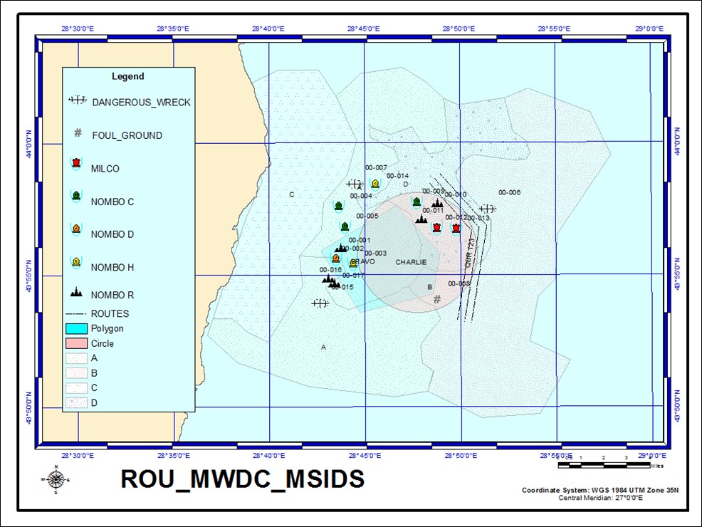
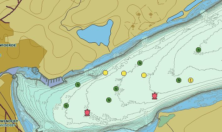
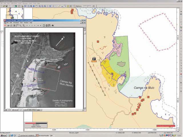
- Analyses geospatial data and creates GIS products specific to maritime operations in support of the Romanian Naval Forces and NATO;
- Processes and manages geospatial data and creates standardised AML (Additional Military Layers) tactical charts in support of the maritime operations of the Romanian Naval Forces and NATO.
Activity photos