Electronic navigational charts (ENC)
Information on the official electronic navigational charts produced by the Maritime Hydrographic Directorate.
Electronic navigational charts (ENC)
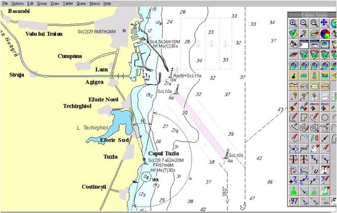
The Maritime Hydrographic Directorate produces the electronic navigational chart (ENC) for use aboard military and commercial vessels within ECDIS (Electronic Chart Display and Information System) equipment.
Being produced by the national authority in the field of maritime hydrographic activity, on behalf of the Ministry of National Defence of Romania, and complying with the standards recommended by the International Hydrographic Organization (IHO), the International Centre for Electronic Navigational Charts (IC-ENC), the International Association of Marine Aids to Navigation and Lighthouse Authorities (IALA), and taking into account the resolutions of the International Maritime Organization (IMO), the electronic navigational chart produced by the Maritime Hydrographic Directorate fully deserves the designation, recognised in international specialist literature, of "ENC – Electronic Navigational Chart".
ENC catalogue
The online catalogue of electronic navigational charts — chart frames are displayed on the map, according to their type.
ENC S-57, Ed. 3.1 electronic navigational charts represent DHM's flagship product.
Their number is growing, thereby ensuring:
- superior display of georeferenced navigational information within ECDIS, by obtaining data on the vessel's position, speed and course, providing an instantaneous picture of the current situation;
- integration with (D)GPS positioning systems, as well as with motion sensors aboard vessels;
- route planning and monitoring, and selection of the desired level of displayed information;
- rapid distribution and updating via CD / internet.
The electronic navigational charts produced by DHM are official electronic navigational charts and fully satisfy the chart-carriage requirements for maritime vessels, in accordance with the obligations set out in the International Convention for the Safety of Life at Sea (SOLAS), for use within ECDIS equipment.
Romanian electronic navigational charts and their updates are validated by the International Centre for Electronic Navigational Charts and are sold through the chart distributor agencies it accredits.
For further details, see the IC-ENC website orcontact us.