Hydrography

The activity of the hydrographic survey laboratory within the Maritime Hydrographic Directorate.

Activity of the hydrographic survey laboratory

The laboratory carries out the following activities:

  • Organises and carries out hydrographic surveys in the coastal area, internal maritime waters (ports), the territorial sea, and the continental shelf of the Black Sea;
  • Processes and supplies hydrographic products to the specialised section for the production of cartographic materials;
  • Provides specialist advice on hydrographic matters to Naval Forces personnel;
  • Updates the official database of the Maritime Hydrographic Directorate with hydrographic data;
  • Implements IHO standards for hydrographic surveys;
  • Hydrographic products are analysed and validated by the laboratory's three internationally certified Category A hydrographers.

Activity photos

Hydrographic survey in the Sulina area
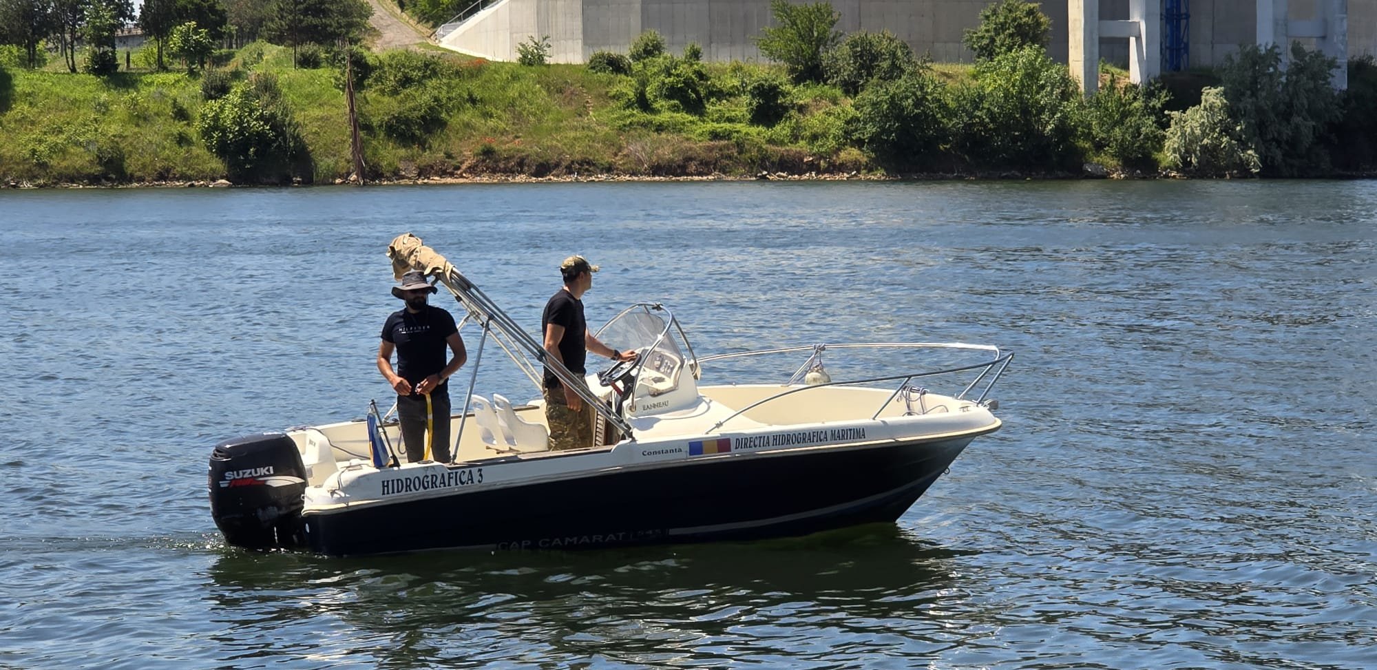
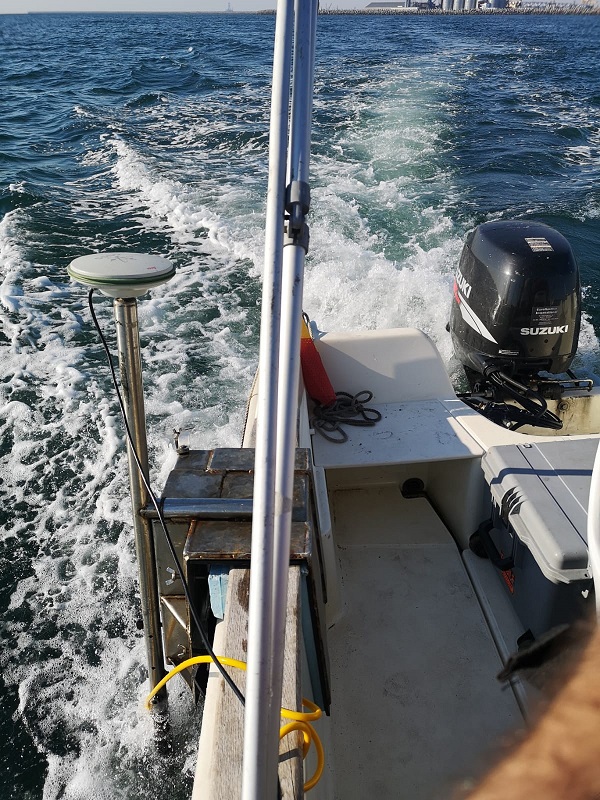
Hydrographic survey in the Mangalia area
Buoyage activity for Navy Day
Hydrographic survey in the Mangalia area
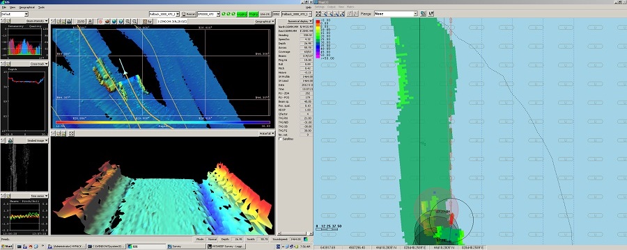
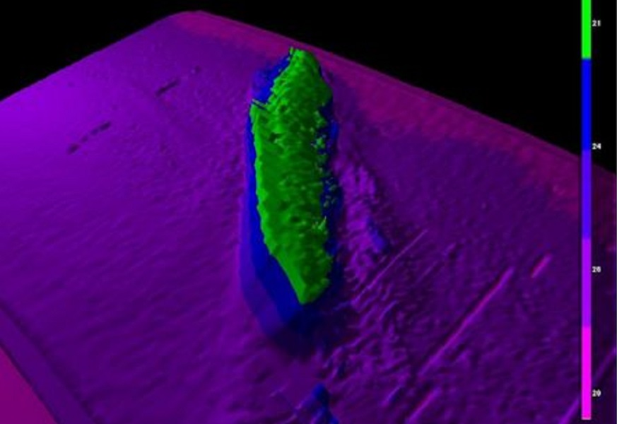
Wreck in the Midia area scanned with a multibeam sonar
Survey activities in the Sulina area
Wreck in the Mangalia area scanned with a multibeam sonar
Training activities
Training activities
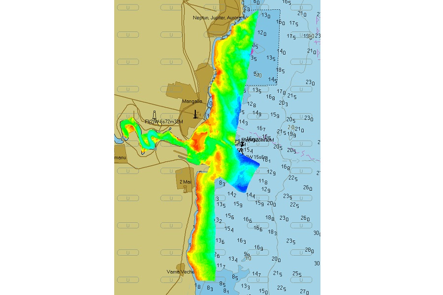
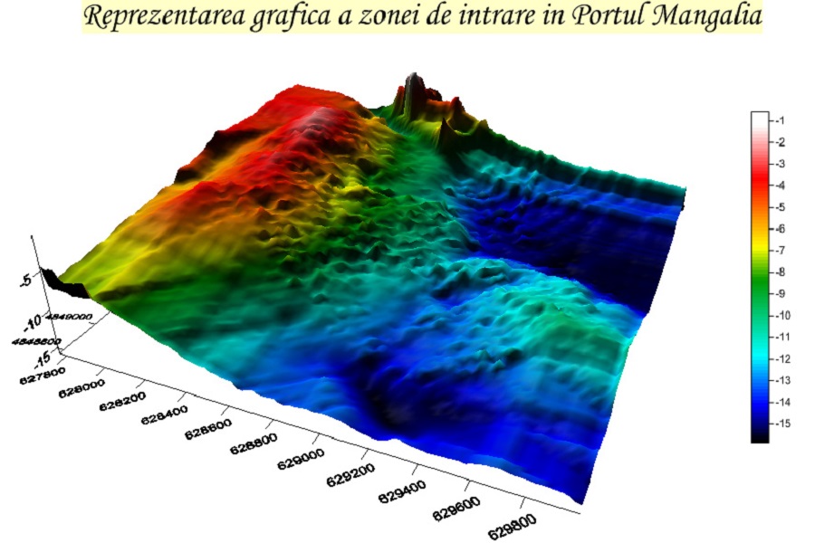
Graphic representation of the entrance area to the Port of Mangalia
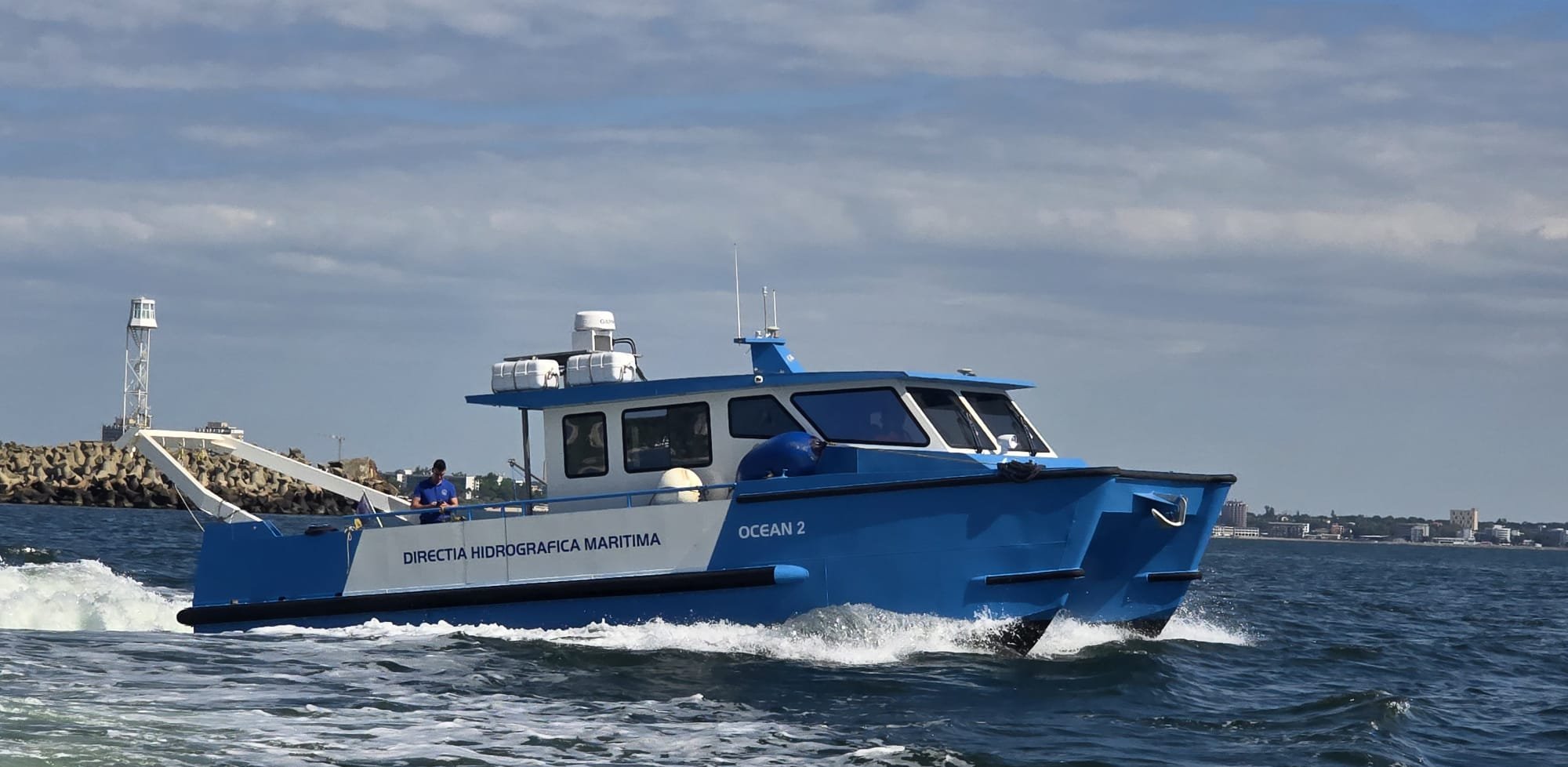
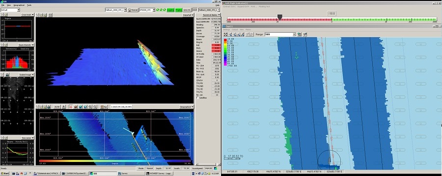
Hydrographic survey in the Midia area
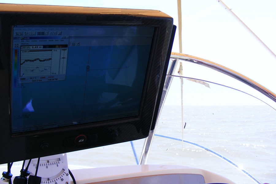
Display of the EA 400 single-beam hydrographic survey system
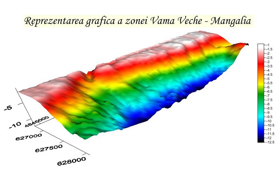
Graphic representation of the Vama Veche - Mangalia area
SSS survey
SSS survey