Marine cartography
The activity of the Marine Cartography Section within the Maritime Hydrographic Directorate.
Activity of the Marine Cartography Section
The Marine Cartography Section carries out the following activities:
- designing, producing and printing official analogue maritime navigational charts for Romania's exclusive economic zone, in accordance with IHO technical resolutions and standards;
- designing and producing official ENC S-57, Ed. 3.1 electronic navigational charts for Romania's exclusive economic zone, in accordance with IHO technical resolutions and standards and IC-ENC recommendations;
- designing and producing nautical documents and publications: the Black Sea Pilot, the Supplement to the Black Sea Pilot, the List of Lights, Fog Signals and Radio Beacons of the Black Sea and the Sea of Marmara, the Rules of the Maritime Buoyage System, Symbols and Abbreviations Used on Marine Charts, Nautical Tables, the Catalogue of Charts and Nautical Publications, Notices to Mariners, the Notices to Mariners Special Edition, the Annex to the Notices to Mariners Special Edition, the Cumulative List of Notices to Mariners, and Radio Navigational Warnings (navigational warnings);
- collecting maritime safety information and publishing NAVAREA warnings relating to the safety of navigation (radio navigational warnings) for transmission via national and international NAVTEX and SafetyNET services;
- providing technical experts to the national interministerial commissions negotiating the delimitation of maritime spaces along the Romanian coast.
The Section's modern technology now makes it possible to meet the increased demands of the navigation field, as well as the challenge posed by the radical transformation of marine cartography as a whole, through the production of electronic navigational charts (ENC).
The software used, highly precise and offering extensive cartographic detailing capabilities, comprises a series of specialised modules for producing marine navigational and electronic charts, in full compliance with the standardisation requirements recommended by the IHO.
Structures and responsibilities
Analogue Navigational Charts Laboratory
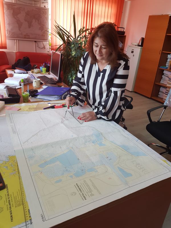
Drafts and produces official maritime navigational charts for Romania's exclusive economic zone.
Electronic Navigational Charts Laboratory
Drafts and produces official electronic navigational charts for Romania's exclusive economic zone.
Notices to Mariners Laboratory (AWNIS)
Drafts and produces periodic nautical publications, monthly and annual notices to mariners, required aboard military and civilian vessels for navigational information purposes and for updating official Romanian nautical charts and publications.
Navigational warnings / radio navigational warnings (ARN) are published by the Maritime Hydrographic Directorate and are transmitted to mariners by the international navigational warning service through the Bulgarian coast radio station, Radio Varna, for the Black Sea area, and through the Spanish Hydrographic Office for the NAVAREA III hydrographic basin.
The Notices to Mariners Laboratory also carries out duties specific to an AWNIS cell (Allied Worldwide Navigational Information System). The AWNIS cell takes part in international Naval Forces military exercises, providing safety and security of navigation (SASON) information to support freedom of navigation.
The notices to mariners produced by the laboratory are presented in detail in the Products and Services section, Publications subsection.
Nautical Publications Laboratory
Drafts and produces official Romanian nautical publications in accordance with IHO technical resolutions and standards. The official nautical publications produced by the laboratory are presented in detail in the Products and Services section, Publications subsection.
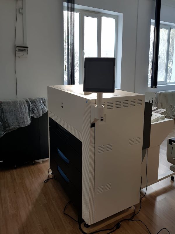
Chart Printing Workshop
The Chart Printing Workshop is established within the Maritime Hydrographic Directorate / Marine Cartography Section, headquartered at 1 Fulgerului Street, Constanța, Constanța County, in accordance with Order of the Minister of National Defence No. 167/2006, Instructions on the organisation and conduct of publishing and printing activity within the Ministry of Defence, Chapter I, Article 3, paragraph (3), without legal personality.
Prints the maritime navigational charts produced by the Analogue Navigational Charts Laboratory.
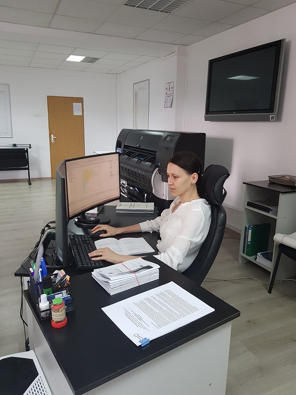
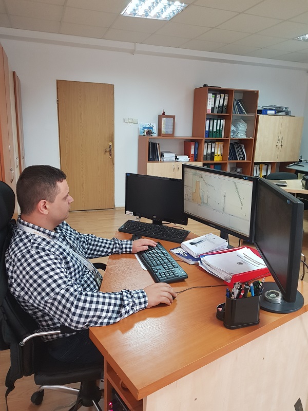
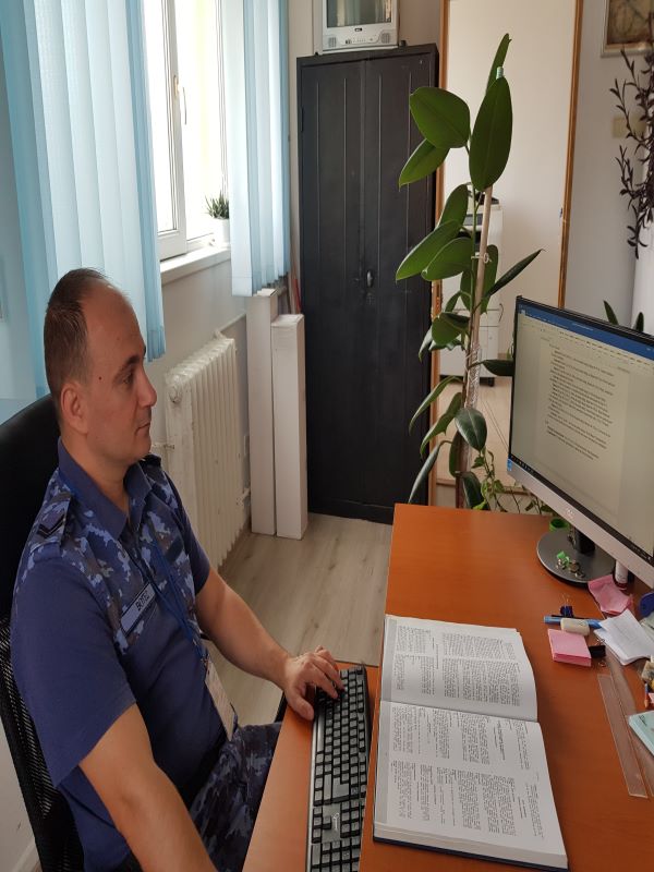
Activity photos