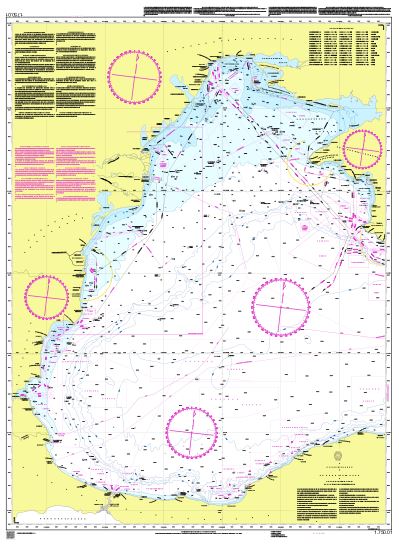
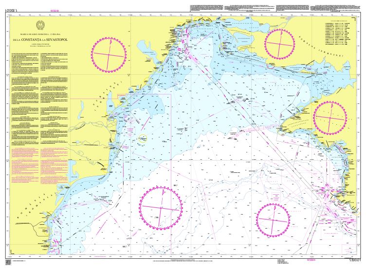
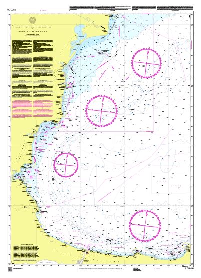
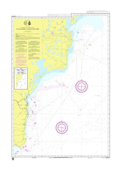
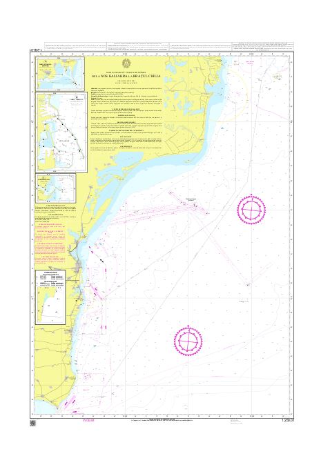
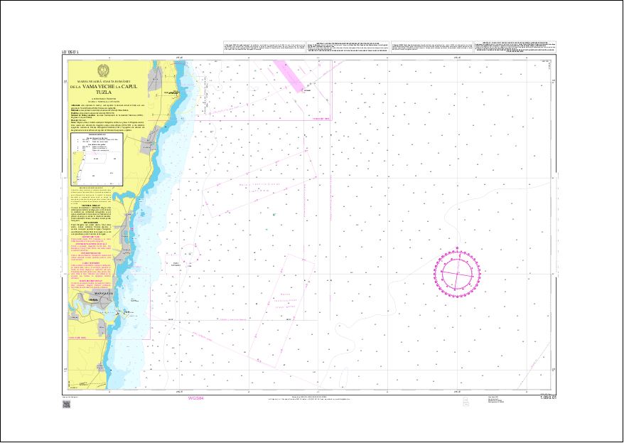
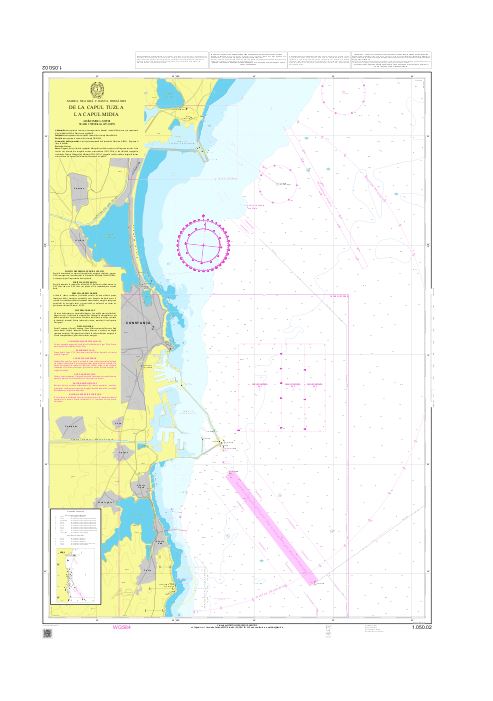
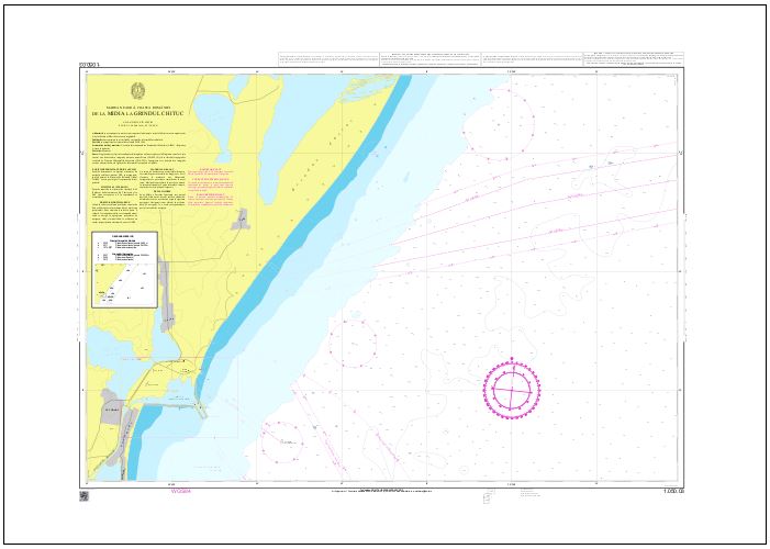
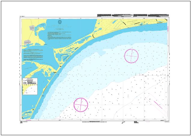
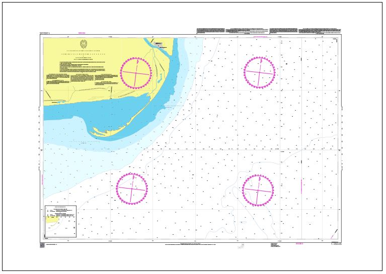
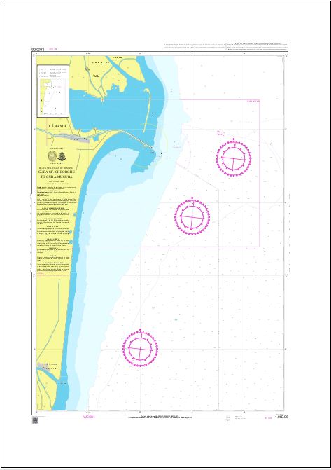
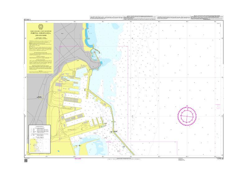
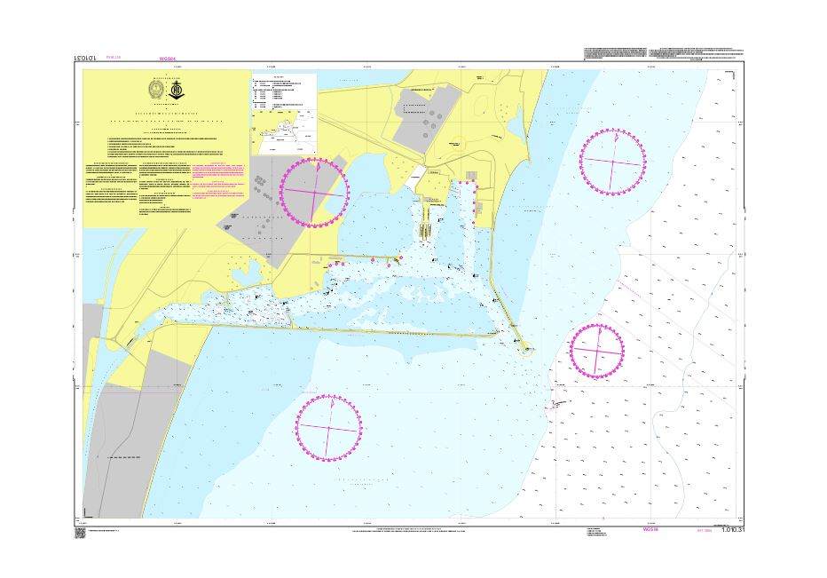
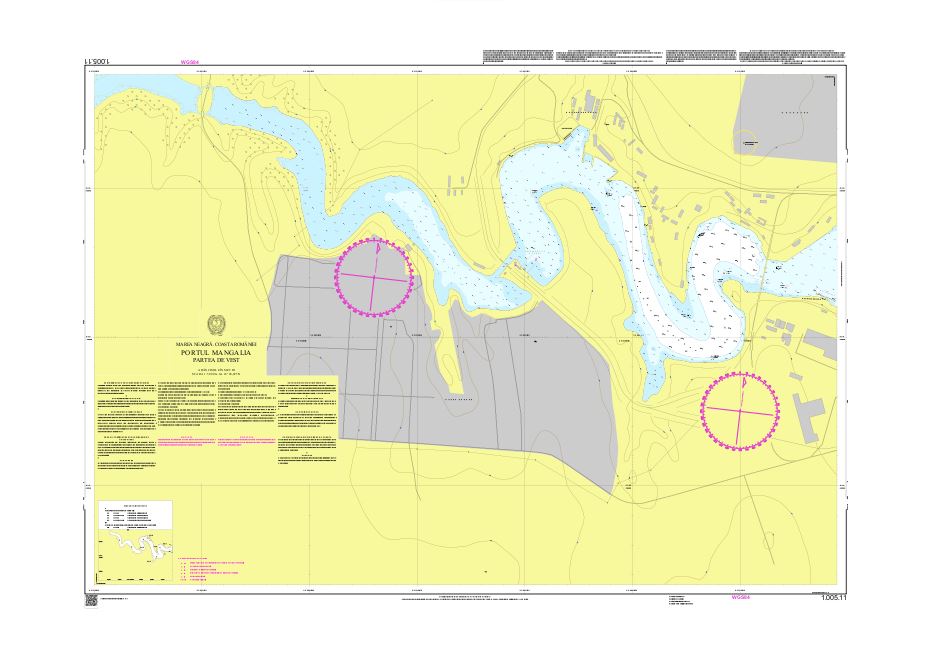
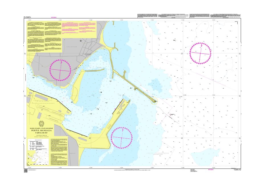
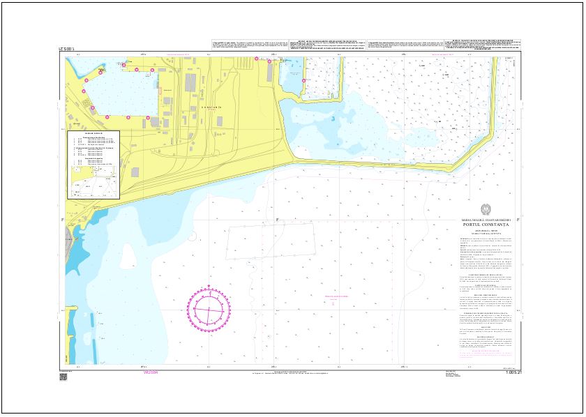
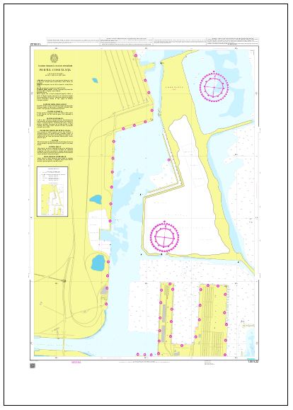
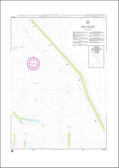
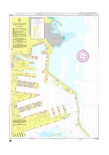
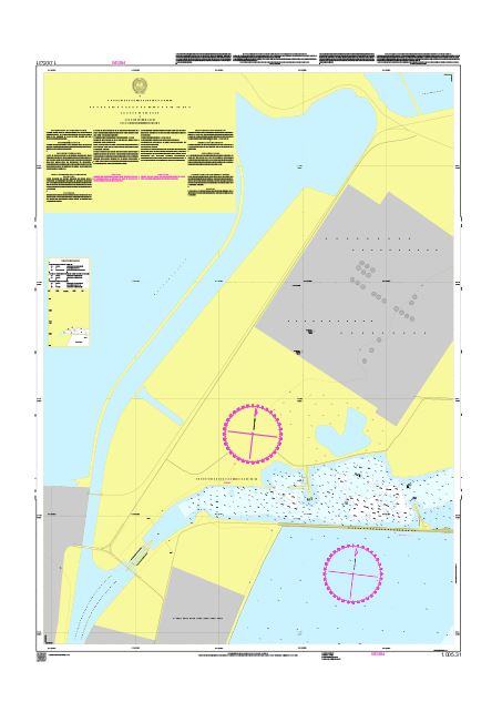
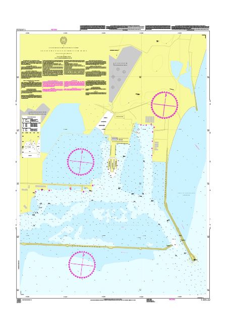
Information on the national series of analogue marine charts published by the Maritime Hydrographic Directorate.
Maritime navigational charts – paper format
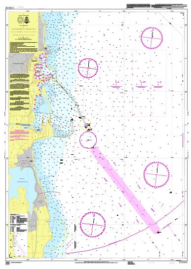
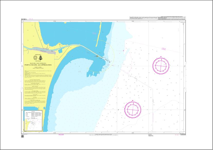
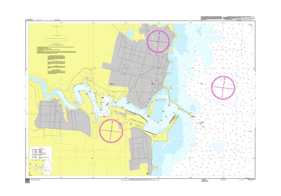
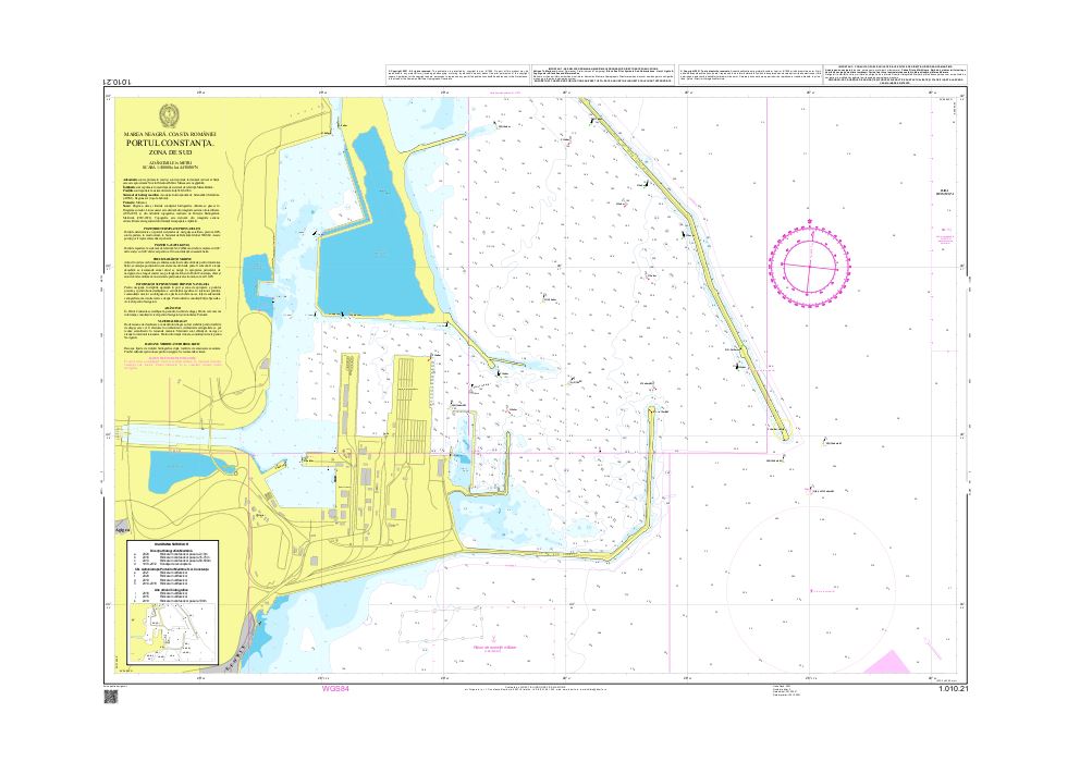
The national series of analogue marine charts published by the Maritime Hydrographic Directorate covers Romania's entire exclusive economic zone at medium and large scales.
Interactive catalogue
The online catalogue of paper maritime navigational charts — chart frames are displayed on the map, according to the type and scale of each.
National portfolio of paper nautical charts
The national portfolio comprises 29 paper nautical charts, of which 23 are national charts and 6 are international-number (INT) charts.
For maritime navigational charts with an international number (INT), users may also consult the official catalogue of the International Hydrographic Organization (IHO) —IHO Web Catalogue. This provides information on INT charts published or planned by IHO member states.