


Topo-Geodesy
Topo-Geodesy Laboratory Activity
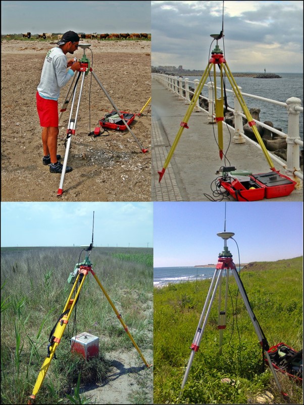
Performs the coastal area research which consists of all measures and actions taken for data collecting, analyzing, checking, storing, updating and revaluation to provide the topo-geodetic support;
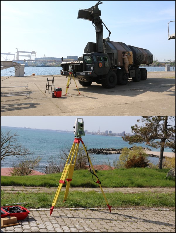
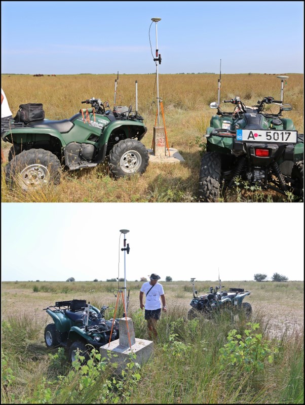
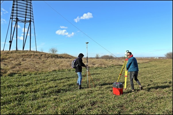
Checks the geodetic network thickening, obtaining information about the existence, physical situation and terminals signaling, the facilities for rehabilitation of missed terminal markings, the access ways to them and the emergence of new prominent details on spot that can be found to be used as guidance marks;
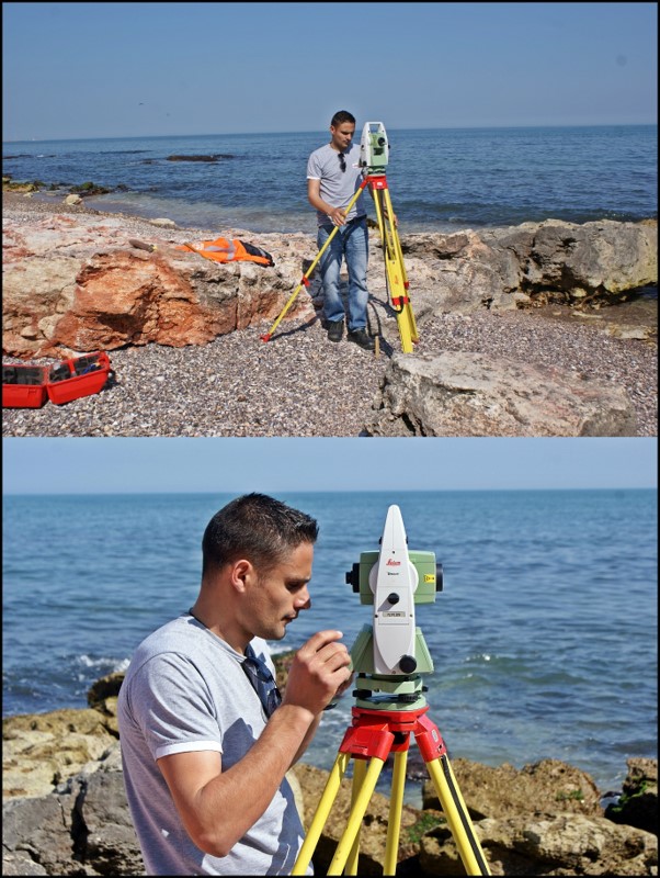
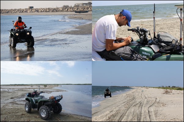
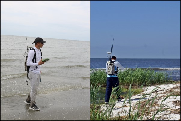
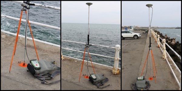
Performs topo-geodetic elevation of the coastline for the littoral area;
Performs suitable elevations required to update the nautical charts and documents for the Navy or internal and external users;
Performs the measurements for preparing detailed plans of military ports and land plans for their own barracks;
Provides the suited data and products needed for the cartography department;
Performs the topo-geodetic measurements specific to the activities of calibration for on board vessels and on shore radar stations;
Performs the special topographic elevations for the NAVY benefit.