


Cartography
Marine Cartography Department Activity
Department responsible to:
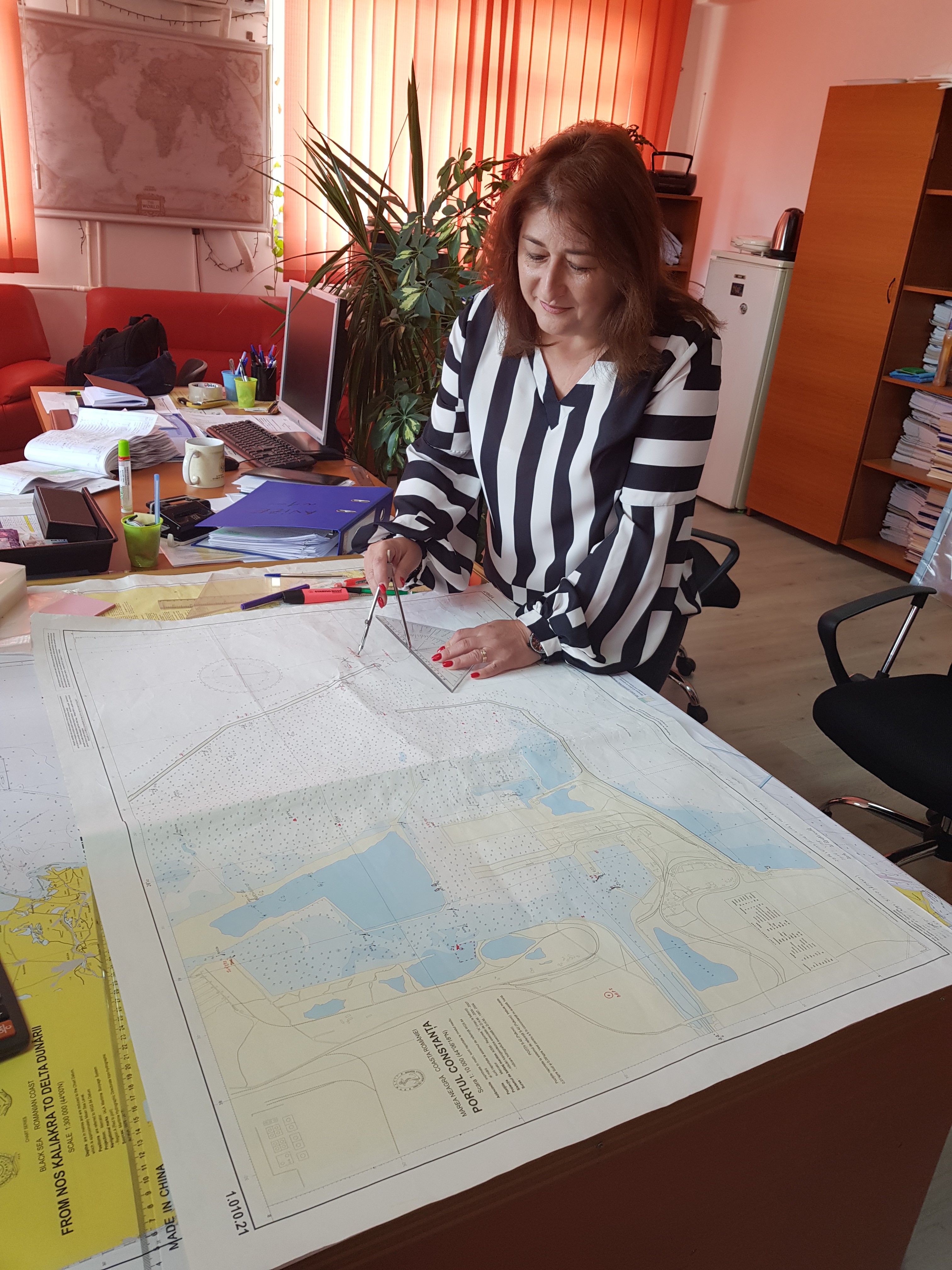
- Design and edit the paper charts, as required by IHO and NATO standards, according to their commercial and/or military destination
- Design and product the Electronic Navigational Charts (ENCs) type S-57, Ed. 3.1
- Design and issue the nautical documents and publications: Black Sea Pilot, Supplement to the Black Sea Pilot, Lists of Lights and Fog Signals from Marmara and Black Seas, Maritime Buoyage System, Symbols and Abbreviations used to Romanian Paper Charts, Nautical Tables, Catalogue of Nautical Charts and Publications, Notices to Mariners, Special Edition of Notices to Mariners, Annex to Special Edition of Notices to Mariners, Cumulative List of Notices to Mariners, Radio Navigational Warnings
- Collect Maritime Safety Information (MSI) and edit the NAVAREA warnings relating to the safety of navigation (Radio Navigational Warnings) to be promulgated by national and World-Wide NAVTEX and SafetyNet Services
Today, the modern technology within the Marine Cartography Department, related to the electronic cartography provides the opportunity to meet the increased demands of the shipping and the challenge of radical change in the physiognomy of marine cartography in general by developing the Electronic Navigational Chart (ENC).
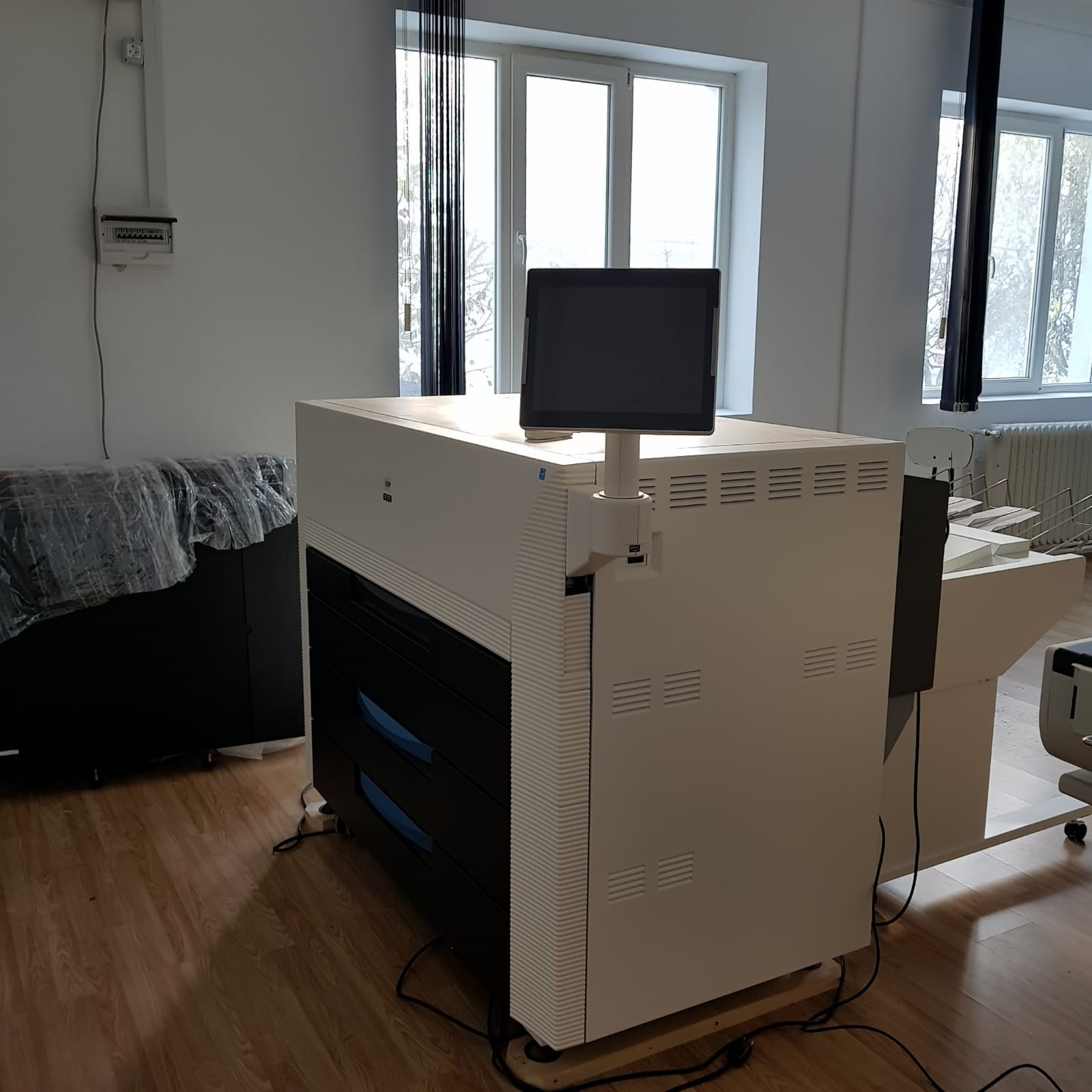
The softwares used with a precise and ample opportunity for detailed charting include a series of specialized modules for editing the paper and electronic charts, respecting all the requirements in accordance to IHO standards.
-

Nautical Chart Drawing up
-
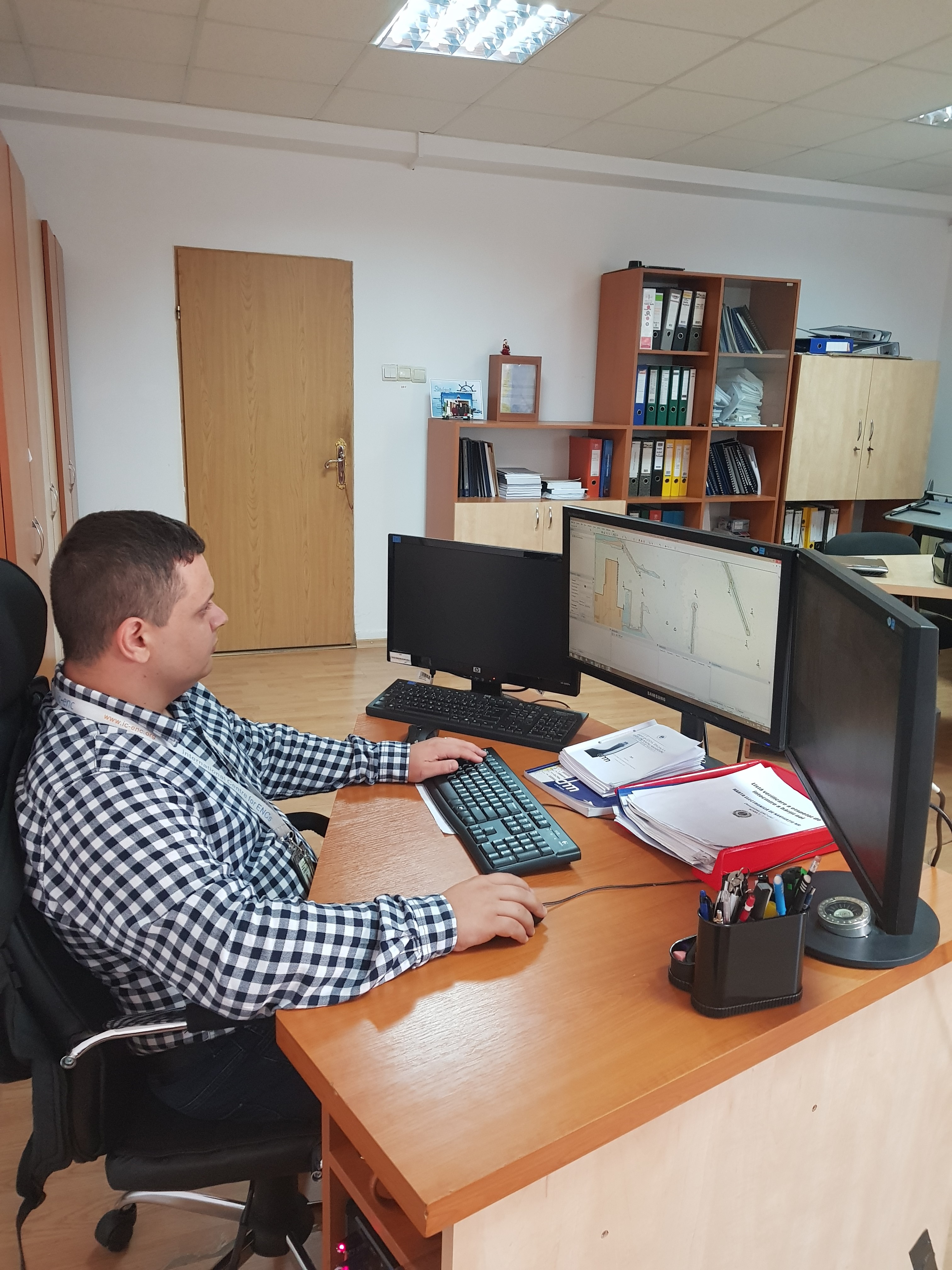
Nautical Chart Drawing up
-
Nautical Publication Drawing up
-

Nautical Publication Drawing up
-
Digital typography